Geographical Information Systems (GIS)
combine various maps and remote sensing information to generate various models, which are used in real time environment. Geographical information system is the science utilizing the geographic concepts, applications and systems. Geographical Information System can be used for scientific investigations, resource
Download Geographical Information Systems (GIS)

Information
Domain:
Source:
Link to this page:
Documents from same domain
STRATEGIC PLANNING FOR AGRICULTURAL …
www.manage.gov.inSTRATEGIC PLANNING FOR AGRICULTURAL DEVELOPMENT Dr. M.A.Kaereem Introduction During the last decade a number of management tools have been developed which are helpful
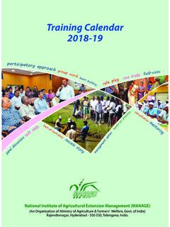
Training Calendar 2018-19 - manage.gov.in
www.manage.gov.in1. Training Calendar 2018-19. pa. rtici p a t o r y a p p r o a c h g r o u p w o r k s t e a m b u i l d i n g r o l e p l a y c a e s t u d y f i e l d - v i s i t s. National Institute of …

1. Introduction to Project Management
www.manage.gov.inIntroduction to Project Management Introduction Realization of these objectives requires systematic planning and careful implementation. To this effect, application of knowledge, skill, tools and techniques in the project environment, ... watershed project. At the beginning detailed sectoral planning and coordination among various
STRATEGIC PLANNING FOR AGRICULTURAL …
www.manage.gov.inThe ultimate objective of both research and extension system is to increase agricultural production. Formulating extension and research agenda based on producers’ requirement results in technology that will be more acceptable to users. This also helps in allocation of
FARMING SYSTEMS APPROACH Introduction
www.manage.gov.instarted developing the various farming systems models in accordance with the agro-eco systems zones. Since 1978, both scientists, extensionists, anthropologists, social workers, administrators have been publishing many articles on FSRE in different journals. Simmonds in 1984 clarifies the Farming System Approach as follows: It is an academic
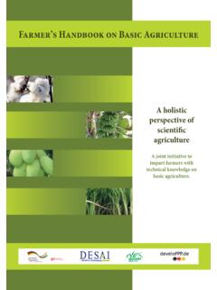
Farmer’s Handbook on Basic Agriculture
www.manage.gov.inAgriculture contributes around 17% to GDP and continues to be among the most important and success-ful sectors in India. Around 58% of the Indian population depend on agriculture for their livelihood. Apart from delivering the local industries with top quality raw materials for processing, agriculture provides almost 10% of total export earnings.
Basics of Project Management 1.1 Introduction
www.manage.gov.inIndian Railways changing the meter gauge railway track to broad gauge An FMCG company introducing its products into a new virgin market A company hiring fresh graduates ... extent with innovations taking place at a very rapid rate. Projects are needed for the upgradation of products. Globalization impact: ...
Effective Communication - Reading Material
www.manage.gov.inCommunication importance, process and elements Communication is one of the most basic functions of management, the manager can make a good decision, think out well conceived plans, establish a ... behaviour of employees within organizations. Agricultural communication is defined as a planned transfer of farm technologies
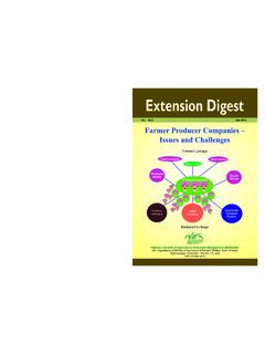
Farmer Producer Companies – Issues and Challenges
www.manage.gov.inowned producer organizations, or FPCs, is to enhance production, productivity and profitability of agriculturists, especially small farmers in the country. This issue of the Extension Digest focuses on the following aspects: 1. Rationale for Farmer Producer Organizations/Companies 2. Concept and Genesis of FPOs/FPCs 3.
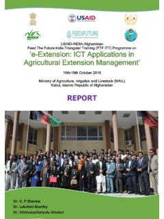
‘e-Extension: ICT Applications in Agricultural Extension ...
www.manage.gov.inImplementation of the Policy calls for comprehensive interventions including the strengthening of the Research-Extension-Education continuum from the laboratory to the field. ... basis and can build application that bank up on these infrastructures for capacity ... Modernized agricultural research-extension-education approaches.
Related documents

Applications of Remote Sensing in Agriculture - A Review
www.ijcmas.comAug 01, 2019 · Remote sensing is the art and science of gathering information about the objects or area of the real world at a distance without coming into direct physical contact with the object under study. Remote sensing is a tool to monitor the earth’s resources using space technologies in addition to ground