maps: Draw Geographical Maps
HK). In such cases, iso.alpha will return the main code, but iso.expand will return a regular expression that excludes some parts. Value iso.expand returns vector of country names. When used as input for map it will plot all the coun-tries as identified either by their sovereignty or by ISO codes. If regex=FALSE the length of the
Download maps: Draw Geographical Maps

Information
Domain:
Source:
Link to this page:
Documents from same domain
Package ‘segmented’ - R
cran.r-project.orgPackage ‘segmented’ November 30, 2017 Type Package Title Regression Models with Break-Points / Change-Points Estimation Version 0.5-3.0 Date 2017-11-22
gap: Genetic Analysis Package - R
cran.r-project.org2 gap: Genetic Analysis Package from patients su ering with di erent diseases to identify common genetic variations for each condition. It is hoped that by identifying these genetic signposts, researchers will
Package ‘season’ - R
cran.r-project.orgPackage ‘season’ May 20, 2018 Type Package Title Seasonal Analysis of Health Data Version 0.3.6 Author Adrian Barnett and Peter Baker Maintainer Adrian Barnett <a.barnett@qut.edu.au>

Package ‘medicalrisk’ - The Comprehensive R …
cran.r-project.orgPackage ‘medicalrisk’ ... 2016 Type Package Title Medical Risk and Comorbidity Tools for ICD-9-CM Data Version 1.2 Date 2016-01-23 Description Generates risk estimates and comorbidity flags from ICD-9-CM ... Adapting a clinical comorbidity index for use with ICD-9-CM administrative data: differing perspectives. Journal of clinical ...
Package ‘testthat’ - R
cran.r-project.orgPackage ‘testthat’ December 13, 2017 Title Unit Testing for R Version 2.0.0 Description Software testing is important, but, in part because it is
Package ‘forecast’ - The Comprehensive R Archive …
cran.r-project.orgPackage ‘forecast’ June 21, 2018 Version 8.4 Title Forecasting Functions for Time Series and Linear Models Description Methods and tools for displaying and analysing
Package ‘emma’ - R
cran.r-project.org2 emma-package Index 21 emma-package Designing experiments for process optimization Description The evolutionary model-based multiresponse approach (EMMA) is a procedure for process opti-
Package ‘WeibullR’ - cran.r-project.org
cran.r-project.orgPower" presentations in Appendix D of "The New Weibull Handbook, Fifth Edition". For validity of a 3rd parameter optimization on a given model over its 2 parameter fit, only the Likelihood Ratio Test will be applied. This validity check requires an LRT-P greater than 50 Value
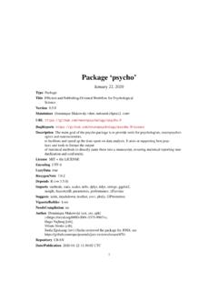
Package ‘psycho’ - The Comprehensive R Archive Network
cran.r-project.orgPackage ‘psycho’ September 13, 2018 Type Package Title Efficient and Publishing-Oriented Workflow for Psychological Science Version 0.3.7 Maintainer Dominique Makowski <dom.makowski@gmail.com>
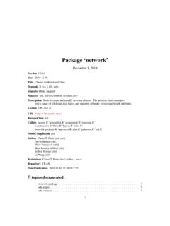
Package ‘network’
cran.r-project.orgnetwork-package 3 Details The networkpackage provides tools for creation, access, and modification of networkclass objects. These objects allow for the representation of more complex structures than can be readily handled
Related documents

Epic User's Guide - EPIC - Eclipse Perl Integration
www.epic-ide.orgThese options define the appearance of the Perl Editor, the coloring of the Perl source code, and how annotations are displayed. Smart typing settings allow to switch auto-completion of quotes, parenthesis etc. on or off.

Python 3 - Tutorialspoint
www.tutorialspoint.comPerl, Python source code is also available under the GNU General Public License (GPL). Python is named after a TV Show called ‘Monty Python’s Flying Circus’ and not after Python-the snake. Python 3.0 was released in 2008. Although this version is supposed to be backward
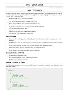
JSON Quick Guide - Tutorialspoint
www.tutorialspoint.comC, C++, Java, Python, Perl, etc. JSON stands for JavaScript Object Notation. The format was specified by Douglas Crockford. It was designed for human-readable data interchange. It has been extended from the JavaScript scripting language. The filename extension is .json. JSON Internet Media type is application/json.