maps: Draw Geographical Maps
and 3-letter ISO code, the official name, the (possibly shorter) name used in the map data base, and the sovereign country. Details The ISO 3166-1 standard identifies countries by a 2 and 3 letter codes. This table listst these for all countries on the world map. This data set also serves as basis for the function iso.expand() and its ...
Download maps: Draw Geographical Maps

Information
Domain:
Source:
Link to this page:
Documents from same domain
Package ‘segmented’ - R
cran.r-project.orgPackage ‘segmented’ November 30, 2017 Type Package Title Regression Models with Break-Points / Change-Points Estimation Version 0.5-3.0 Date 2017-11-22
gap: Genetic Analysis Package - R
cran.r-project.org2 gap: Genetic Analysis Package from patients su ering with di erent diseases to identify common genetic variations for each condition. It is hoped that by identifying these genetic signposts, researchers will
Package ‘season’ - R
cran.r-project.orgPackage ‘season’ May 20, 2018 Type Package Title Seasonal Analysis of Health Data Version 0.3.6 Author Adrian Barnett and Peter Baker Maintainer Adrian Barnett <a.barnett@qut.edu.au>
Package ‘medicalrisk’ - The Comprehensive R …
cran.r-project.orgPackage ‘medicalrisk’ ... 2016 Type Package Title Medical Risk and Comorbidity Tools for ICD-9-CM Data Version 1.2 Date 2016-01-23 Description Generates risk estimates and comorbidity flags from ICD-9-CM ... Adapting a clinical comorbidity index for use with ICD-9-CM administrative data: differing perspectives. Journal of clinical ...
Package ‘testthat’ - R
cran.r-project.orgPackage ‘testthat’ December 13, 2017 Title Unit Testing for R Version 2.0.0 Description Software testing is important, but, in part because it is
Package ‘forecast’ - The Comprehensive R Archive …
cran.r-project.orgPackage ‘forecast’ June 21, 2018 Version 8.4 Title Forecasting Functions for Time Series and Linear Models Description Methods and tools for displaying and analysing
Package ‘emma’ - R
cran.r-project.org2 emma-package Index 21 emma-package Designing experiments for process optimization Description The evolutionary model-based multiresponse approach (EMMA) is a procedure for process opti-
Package ‘WeibullR’ - cran.r-project.org
cran.r-project.orgPower" presentations in Appendix D of "The New Weibull Handbook, Fifth Edition". For validity of a 3rd parameter optimization on a given model over its 2 parameter fit, only the Likelihood Ratio Test will be applied. This validity check requires an LRT-P greater than 50 Value
Package ‘psycho’ - The Comprehensive R Archive Network
cran.r-project.orgPackage ‘psycho’ September 13, 2018 Type Package Title Efficient and Publishing-Oriented Workflow for Psychological Science Version 0.3.7 Maintainer Dominique Makowski <dom.makowski@gmail.com>
Package ‘network’
cran.r-project.orgnetwork-package 3 Details The networkpackage provides tools for creation, access, and modification of networkclass objects. These objects allow for the representation of more complex structures than can be readily handled
Related documents
MEMORY STORAGE CALCULATIONS - Rutgers University
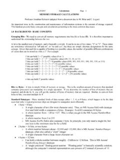
eckstein.rutgers.eduof the character set used. Each character have a unique representation, so the larger the character set, the larger the memory requirement for each character in the set. Early character sets (containing 26 capital letters, 10 numbers, a space character, and assorted punctuation) allowed 64 characters. A popular example is “ASCII 64”.
2021 ICD-10-CM Guidelines - Centers for Disease Control ...
www.cdc.govICD-10-CM Official Guidelines for Coding and Reporting FY 2021 (October 1, 2020 - September 30, 2021) Narrative changes appear in bold text . Items underlined have been moved within the guidelines since the FY 2020 version
LEGALLY BINDING INSTRUMENT TO REGULATE, IN …
www.ohchr.org1.4. “Business activities of a transnational character” means any business activity described in Article 1.3. above, when: a. It is undertaken in more than one jurisdiction or State; or b. It is undertaken in one State but a significant part of its preparation, planning,
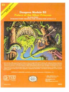
Dungeon Module B3 - Pandius
www.pandius.coming party for a larger brigade who plan on taking the ruined palace and making it a fort or base station from which to work. The possi-bilities are as endless as the imagination of the DM. The dungeon is constructed of marble. The doors are of iron-reinforced oak. The passageways are fairly clean due to the gelati-nous cube that roams the hallways.