Example: biology
GLOSSARIES OF BLM SURVEYING AND MAPPING TERMS
SURVEYING AND MAPPING TERMS PREPARED BY THE CADASTRAL SURVEY TRAINING STAFF DENVER SERVICE CENTER 1980 SEARCHABLE PDF 2003 . PREFACE The original edition of this glossary was developed for use by trainee cadastral surveyors during the cadastral survey professional series of training courses. This edition is intended for use by all BLM
Tags:
Information
Domain:
Source:
Link to this page:
Documents from same domain
Standard Operating Procedure - Bureau of Land …
www.ntc.blm.govDOI Financial Business Management Systems (FBMS) DOI FBMS Standard Operating Procedure (SOP) Department of the Interior Managing 1099s Page 4 of …
Standard Operating Procedure - Bureau of Land …
www.ntc.blm.govDOI Financial Business Management Systems (FBMS) DOI FBMS Standard Operating Procedure (SOP) Department of the Interior SOP:AA-XX / …
SharePoint 2010 End-user Training Manual
www.ntc.blm.govSharePoint 2010 End-user Training Manual ... SharePoint 2010 Quick Reference ... is also built upon the “SharePoint 2010 End User Information” quick guide
Bureau of Land Management
www.ntc.blm.govThe Bureau of Land Management's mission is to sustain the health, diversity, and productivity of America’s public lands for the use and enjoyment of present and future generations.
Bureau of Land Management
www.ntc.blm.govBureau of Land Management . Interpret and WriteDescriptions of Land . Curriculum Job Aid . Additional Resources Specifications for Descriptions of Land . The Specifications provides guidance for writing accurate boundary descriptions, locations by survey, the form and
BLM Module 2: The Public Land Survey System Study Guide
www.ntc.blm.govBLM Module 2: The Public Land Survey System Study Guide 16 of 34 Another historic unit of measure was the pole or rod or perch. Like the acre, common units of linear measure were brought to the American Colonies from Europe. A pole or rod of an exact
I Understanding Your Retirement Benefits Making the Right ...
www.ntc.blm.govUnderstanding Your Retirement Benefits Making the Right Decisions Federal Employees Retirement System (FERS) 1 ... *A special retirement supplement is payable until age 62, subject to earnings test (does ... FERS COMPONENT- portion of a FERS retiree's annuity that is computed under
Understanding Pumped Storage Hydropower
www.ntc.blm.govPumped Storage’s role in energy security for domestic electric grid Regulatory: Need for streamlined licensing for low-impact pumped storage projects (off-channel or closed-loop projects) ... while maintaining reliable operation and power quality of the Electric Grid.
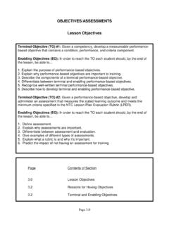
OBJECTIVES/ASSESSMENTS Lesson Objectives
www.ntc.blm.govterminal and enabling. Terminal and Enabling Objectives . According to Jolly T. Holden, Ed.D, author of “A Quick Reference Guide to Developing Cognitive Laerning Objectives” written for the Federal Government Distance Learning Association (FGDLA), “Terminal Objectives describe, in broad terms, what the learner’s
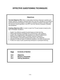
EFFECTIVE QUESTIONING TECHNIQUES
www.ntc.blm.govstudents to think about the issues they’ve raised and see if they can come up with the answers themselves. g. Relay questions. Another way to keep the students involved is by using a relay question. If a student asks you a question you may not want to answer, you can redirect the question to another student. Mr.
Related documents

Standards & Procedures for Surveying and Mapping
ogs.ny.govSurveying staff in the Bureau of Land Management are generally responsible for the surveying and mapping. The purpose of this manual is to provide a standardized guide for land surveyors in the performance of surveying and mapping projects. All survey and mapping performed for the OGS becomes part of the permanent records of the OGS.

Guidelines for the use of GNSS in surveying and mapping
www.rics.orgin land surveying and mapping 2nd edition, guidance note This guidance note sets out best practice guidelines for surveyors and clients on the use of Global Navigation Satellite Systems (GNSS) in land surveying and mapping. It provides the surveyor with a set of practical operational guidelines, which

INTRODUCTION TO ENGINEERING SURVEYING (CE 1305) …
www.tanliatchoon.yolasite.com• Mean sea level is used to define vertical datum for national surveying and mapping - hence the TGBM must be connected to the national levelling network. Connection to the network will also allow all tide gauges to be connected to each other, providing information on spatial variations in mean sea level. 7

Geocentric Datum of Australia 2020 Technical Manual - ICSM
icsm.gov.auCommittee on Surveying and Mapping requested that the Permanent Committee on Geodesy commence work on developing the Geocentric Datum of Australia 2020 (GDA2020) along with the required technical tools, services and documentation. The Permanent Committee on Geodesy was assisted with contributions from a number of

Introduction to Community Asset Mapping
www.courtinnovation.orgHow does asset mapping work? Community cartographers seek to identify the resources that are present in the community, and focus on the problem-solving abilities of the neighborhood’s residents. This can be accomplished through community exploration, internet research, surveying, etc. What is the goal of asset mapping?

SURVEYING PROCEDURES AND PRACTICES 3.1 GENERAL …
www.tn.govsurveying technology have made many methods obsolete. In general, it is assumed that the surveyor is using total stations, data collectors, GNSS equipment, network real time kinematic ... These coordinates will be datum adjusted before being supplied to field crews for surveying and / or mapping. A more complete discussion of datum adjustment ...
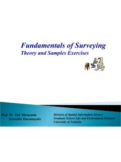
Fundamentals of Surveying - Tsukuba
giswin.geo.tsukuba.ac.jp2 • Surveying has to do with the determination of the relative spatial location of points on or near the surface of the earth. • It is the art of measuring horizontal and vertical distances between objects, of measuring angles between lines, of determining the direction of lines, and of establishing points by predetermined angular and linear measurements.

Common Abbreviations - North Dakota Department of …
www.dot.nd.govCommon Abbreviations 9/20/2018 abandoned Abn abutment Abut acres Ac adjusted Adj aggregate Aggr ahead Ahd air release valve ARV alignment Align alley Al