Example: tourism industry

Potential High Impact/Long Duration Winter Storm Ahead ...

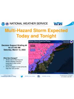
Binghamton, NYWEATHER FORECAST : Lake effect snow showers continue through at least Monday. Accumulating snow is expected, especially across the Thruway Corridor and Finger Lakes Region. Winds will be gusty at times; gusts as high as 25 35 mph Record low temperatures are expected with wind chills below 0 at Snow through at leastMonday morning, possibly lingering into Tuesday. Coldest temperatures and wind chills tonight into Monday morning, and not much improvement Monday night into Tuesday & IMPACTS Totalsnow accumulations of 4-6+ in portions of the Finger Lakes and Thruway corridor. Snow squalls possible down to the Twin Tiers. Slippery roadways,reduced visibility,andblowing snow possible. Cold temperatures and wind chills may be ALERTS Winter Weather Advisorythrough 8 AM Monday as shown CHALLENGES Location of heaviest lake effect snow Effect Snow and Cold Expected3/27/2022 6:01 AMIssued: Winter Weather AdvisorySnowfall through Monday AMWind Chill Monday AM
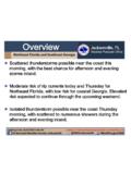
Wednesday evening through Friday Wintry Mix Wintry mix (especially where freezing rain may occur) may result in hazardous travel conditions. Currently expected to be from the Southern Tier and southern Catskills of NY, southward into Northeast PA. Thursday through Friday Snow.

Tags:

  Through, Friday, Through friday

Information

Domain:

Source:

Link to this page:

Please notify us if you found a problem with this document:

Other abuse

Advertisement

Transcription of Potential High Impact/Long Duration Winter Storm Ahead ...

1 Binghamton, NYWEATHER FORECAST : Lake effect snow showers continue through at least Monday. Accumulating snow is expected, especially across the Thruway Corridor and Finger Lakes Region. Winds will be gusty at times; gusts as high as 25 35 mph Record low temperatures are expected with wind chills below 0 at Snow through at leastMonday morning, possibly lingering into Tuesday. Coldest temperatures and wind chills tonight into Monday morning, and not much improvement Monday night into Tuesday & IMPACTS Totalsnow accumulations of 4-6+ in portions of the Finger Lakes and Thruway corridor. Snow squalls possible down to the Twin Tiers. Slippery roadways,reduced visibility,andblowing snow possible. Cold temperatures and wind chills may be ALERTS Winter Weather Advisorythrough 8 AM Monday as shown CHALLENGES Location of heaviest lake effect snow Effect Snow and Cold Expected3/27/2022 6:01 AMIssued: Winter Weather AdvisorySnowfall through Monday AMWind Chill Monday AM


Related search queries