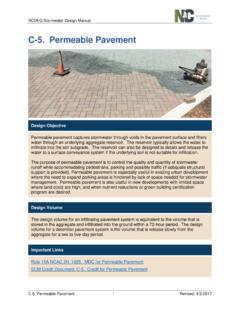
Transcription of Runoff Coefficient (C) Fact Sheet - California
1 Fact The Clean Water Team Guidance Compendium for Watershed Monitoring and Assessment State Water Resources Control Board FS-(RC) 2011 1 Runoff Coefficient (C) Fact Sheet What is It? The Runoff Coefficient (C) is a dimensionless Coefficient relating the amount of Runoff to the amount of precipitation received.
2 It is a larger value for areas with low infiltration and high Runoff ( pavement , steep gradient), and lower for permeable, well vegetated areas (forest, flat land). Why is It Important? It is important for flood control channel construction and for possible flood zone hazard delineation. A high Runoff Coefficient (C) value may indicate flash flooding areas during storms as water moves fast overland on its way to a river channel or a valley floor. How is It Measured? It is measured by determining the soil type, gradient, permeability and land use. The values are taken from the table below.
3 The larger values correspond to higher Runoff and lower infiltration. LandC LandC Use Use Busin Do Ne 0 0 Lawn San San San Hea Hea Hea .05 0 15 .13 8 .25 ess: wntown areas ighborhood areas - s: dy soil, flat, 2% dy soil, avg., 2-7% dy soil, steep, 7% vy soil, flat, 2% vy soil, avg., 2-7% vy soil, steep, 7% - - - - - Resid Sin Mu Mu Sub Agric Bar *Sm *Ro Cult *He*H *Sa*Sa Pas *H *Sa Wo 30 0 20 0 ential: gle-family areas lti units, detached nti units, attached urban - - - ultural land.
4 E packed soil ooth ugh ivated rows avy soil, no crop eavy soil, with crop ndy soil, no crop ndy soil, with crop ture eavy soil ndy soil odlands - - - - - - - - Fact The Clean Water Team Guidance Compendium for Watershed Monitoring and Assessment State Water Resources Control Board FS-(RC) 2011 2 Indu Lig He Stree Asp Con Bri strial.
5 Ht areas avy areas - - ts: haltic crete ck - - - , cemeteries 0- proved areas - rounds - s and walks - Railr20 oad yard areas s - Note: The designer must use judgment to select the appropriate "C" value within the range. Generally, larger areas with permeable soils, flat slopes and dense vegetation should have the lowest "C" values. Smaller areas with dense soils, moderate to steep slopes, and sparse vegetation should assigned the highest "C" values. accessed 11/19/09