
APPENDIX F: FEMA FORMS
If latitude and longitude data are available, enter them in degrees, minutes, and seconds, or in decimal degrees, taken at the center of the front of the building. Enter arc seconds to two decimal places. Indicate the horizontal datum and the source of the measurement data (for example, taken with GPS, scaled from a USGS Quad Map, etc.).
Download APPENDIX F: FEMA FORMS

Information
Domain:
Source:
Link to this page:
Documents from same domain
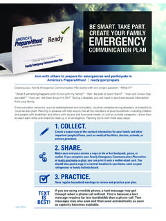
Create Your Family Emergency Communication Plan
www.fema.gov2 America’s PrepareAthon! need to leave your home. The meeting place could be a big tree, a mailbox at ready.gov/prepare The following sections will guide you through the process to create and practice your
Public Assistance Grantee and Subgrantee …
www.fema.govFIELD MANUAL Public Assistance Grantee and Subgrantee Procurement Requirements FEMA Office of Chief Counsel Procurement Disaster Assistance Team
NUCLEAR/RADIOLOGICAL INCIDENT ANNEX - …
www.fema.govNUCLEAR/RADIOLOGICAL INCIDENT ANNEX TO THE RESPONSE AND RECOVERY FEDERAL INTERAGENCY OPERATIONAL PLANS FINAL OCTOBER 2016 Handling Instructions Questions pertaining to the distribution, transmission, or destruction of this Annex should be submitted to the Federal Emergency Management Agency, …
MORTGAGE PORTFOLIO PROTECTION PROGRAM …
www.fema.govFederal Emergency Management Agency Federal Insurance Administration Appendix A Mortgage Portfolio Protection Program Guidelines and Requirements
Pre-Disaster Recovery Planning Guide for State …
www.fema.govPre-Disaster Recovery Planning Guide for State Governments Page iv Acronyms The list below applies to acronyms used throughout the base document.
Pre-Disaster Recovery Planning Guide for Local …
www.fema.govPre-Disaster Recovery Planning Guide for Local Governments )(0$3XEOLFDWLRQ)' Page i TABLE OF CONTENTS
ESF 2 - Communications Annex
www.fema.govfor Telecommunications Support in Non-Wartime Emergencies (NPTS). ESF #2 also provides communications support to Federal, State, tribal, and local governments

Homeland Security Exercise and Evaluation …
www.fema.govHomeland Security Exercise and Evaluation Program ii Planning for Exercise Evaluation.....3-25
NFIP- 2012 I-Codes and ASCE 24 Checklist - …
www.fema.govInternational Residential Code (IRC), the International Existing Building Code (IEBC), and the referenced standard, ... NFIP- 2012 I-Codes and ASCE 24 Checklist ...
Lessons in Community Recovery - Home | FEMA.gov
www.fema.govLESSONS IN COMMUNITY RECOVERY. Seven Years of Emergency Support Function #14 Long-Term Community Recovery from 2004 to …
Related documents
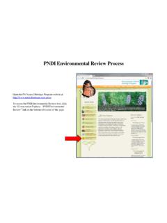
PNDI Environmental Review Process
www.gis.dcnr.state.pa.uslatitude/longitude coordinates, click on the Draw Shape button and select Point mode. Click on Additional Mapping Options, and select “Coordinates” from the Source dropdown. Enter the coordinates and click “Next.” If you are locating your project with latitude/longitude coordinates, use the Zoom to Coordinates or Scale tool. Select decimal
G4 U1 L1 LeSSON 1 Where in the World Do I Live? - National …
coast.noaa.govpre-contact Hawaiian archipelago, including its relative location to other major land masses Assessment/Evidence Pieces Lesson • Finding Latitude and Longitude student worksheet • Map of Archipelago student worksheet Unit • The Island Formations portfolio may be used to monitor student progress throughout the unit. Materials Needed

Solstice and Equinox (“Suntrack”) Season Model
solar-center.stanford.edulocation (longitude and latitude), so the dates when the Sun rises due east and sets due west likewise depend on location. Depending on location, the dates of Sun rising and setting due east and west can be as much as 2-3 days from the officially designated equinox. This is important to keep in mind when
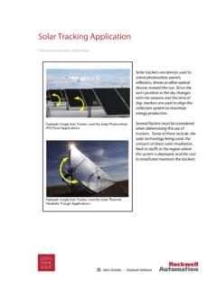
Solar Tracking Application - Rockwell Automation
literature.rockwellautomation.comThe values include the Time zone (TZ), Longitude, Latitude, Pressure, Elevation, Temperature, Surface slope, Surface azimuth rotation and Delta T (difference between earth rotation time and terrestrial time). Once the local parameters have been entered, the program will calculate the azimuth and zenith angles.
MIKE 21 - Hydrodynamic Module
manuals.mikepoweredbydhi.helppre-processing of raw data to bring it into a format readily accepted by the MIKE Zero software. Depending on the amount and quality of the data sets this can be a tedious, ... (Longitude, Latitude and Depth) Creating the Bathymetry 5 Figure 2.4 …

AFAM-approved Proficiency Flight Profiles
www.gocivilairpatrol.com☐ Provide accurate latitude and longitude coordinates of the target ... ☐ Brief passengers on emergency and egress procedures prior to the pre-flight inspection. ☐ Review water survival, ditching procedures, life vest and raft use, and survival