
Trimble Survey Controller User Guide
Survey Controller software: 6021376, 6016118, 5986604, 5969708, 5831573, 5614913 and other patents pending. Release Notice This is the July 2001 release (Revision A) of the Survey Controller User Guide, part number 44011-00-ENG. It applies to version 10.0 of the Trimble Survey Controller™ software. The following limited warranties give you ...
Download Trimble Survey Controller User Guide

Information
Domain:
Source:
Link to this page:
Documents from same domain

Chapter 4 Supersedes Chapter 2 GLOBAL NAVIGATION …
www.ngs.noaa.govJun 06, 2016 · Global Navigation Satellite System Data . Survey Equipment Data . Control Point Data . Accuracy Data . Within these categories, the data have been grouped into one or more logical units called "records." A record is a string of characters containing data coded according to a specific format. Every record in a GNSS B-file consists of

NOAA Manages the National Spatial Reference System
www.ngs.noaa.govNational Spatial Reference System ... n Global Navigation Satellite System (GNSS) orbits; n orientation, scale, and offset information relating NAD 83 to international terrestrial reference systems; and n all necessary information to describe how these values change over time.

WORLD WAR II HISTORY OF THE DEPARTMENT OF …
www.ngs.noaa.govWORLD WAR II HISTORY OF THE DEPARTMENT OF COMMERCE . PART 5 US COAST AND GEODETIC SURVEY . UNITED STATES DEPARTMENT OF COMMERCE . CHARLES SAWYER, Secretary . COAST AND GEODETIC SURVEY . ROBERT F.A. STUDDS, Director . WORLD WAR II HISTORY . Of the . ... the installation of high-precision machine-tool equipment in war plants. …

Survey Monument Preservation - National Geodetic Survey
www.ngs.noaa.govResearch existing monuments and scout their condition. Select route to pass through, or install new, monuments. Install new monuments and take precise measurements.

State Plane Coordinate System of 1983
www.ngs.noaa.govThe State Plane Coordinate System of 1927 was designed in the 1930s by the U.S. Coast and Geodetic Survey (predecessor of the National Ocean Service) to enable surveyors, mappers, and engineers to connect their land or engineering surveys to a common reference system, the North American Datum of 1927. The following
DETERMINATION OF LOOK ANGLES TO GEOSTATIONARY ...
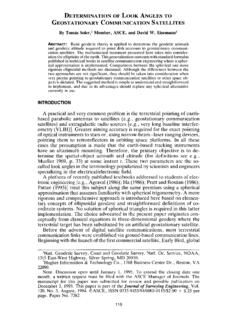
www.ngs.noaa.govFrom Fig. 1 it is clear that the azimuth c,' of the satellite is a function of the angle f3. In this particular situation, as can be seen in the Fig. 1, eL' = 180 ~ _ 13. The angle 13 is computed using Napier's rules as 13 = cos-l(cot "y tan +') (6) Consequently, once the vertex angle 13 at P' is known, the value of the ...

Trimble R7/R8 GPS Receiver User Guide
www.ngs.noaa.govBluetooth wireless radio is far below the FCC radio frequency exposure limits. Nevertheless, the wireless radio shall be used in such a manner that this receiver is 2.0cm or further from the human body. The internal wireless radio operates within guidelines found in radio frequency safety standards and recommendations, which reflect the

Datums, Heights and Geodesy
www.ngs.noaa.govEach equipotential surface has one distinct potential quantity along its surface. Point on earth’s surface is the level surface parallel to the geoid achieved by adding or subtracting potential. Lines don’t appear parallel; they are based on the gravity field and are …
The DSDATA Format
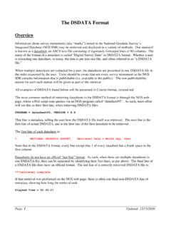
www.ngs.noaa.govDec 15, 2020 · AD9914 COUNTRY - CANADA Data Item USGS Quadrangle When Displayed Always, but may be blank Comments This is the name of the USGS 7.5 minute series map sheet which shows the area of the mark. The mark may or may not appear as a map feature. NGS sometimes publishes data according to the USGS quadrangle (quad) system, for which the

2022 is Coming – Will You Be Ready? (or NAD83 and NAVD88 ...
www.ngs.noaa.gov• NAD83 frame ≠ GPS navigation frame • NAD83 frame ≠ WAAS navigation frame • NAD83 frame ≠ satellite orbits frame • NAD83 frame ≠ satellite product frame • NAD83 frame ≠ international geodetic frame – International flights take off & land on different datums – Many geodetic tools assume ITRF as default
Related documents

On-Road AC Motor Controller Model 1239E
cdn.curtisinstruments.coma ‘virtual system controller’. Curtis offers customers VCL development tools and training. Curtis also provides a VCL service where Curtis engineers will work with the OEM to create any custom VCL code required. Indirect Field Orientation (IFO) vector control algorithm generates the maximum possible torque and
PowerFlex DC Drive and Field Controller Specifications
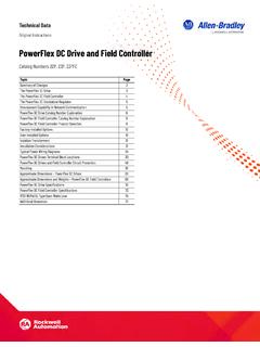
literature.rockwellautomation.comField Controller can be used for standalone DC motor field control applications, or with a PowerFlex DC Digital drive or PowerFlex DC Standalone Regulator (SAR). A fiber-optic interface option module, or digital and analog I/O, provides transmission of the reference,

Controller Walk Through - Combat Simulator
www.digitalcombatsimulator.com9 Controller Setup Walk Through As with the Axis Commands, a list of Actions are listed in the left most column, and to the right, each input device is listed as a separate column. As before, double click on the field you with to assign to a controller or change.
Controller Area Network (CAN)
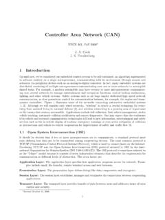
www.eecs.umich.eduField 11 Bit Identifier SOF SOF Bus Idle RTR RTR RTR IDEr0 CRC Delimiter ACK Delimiter ACK Slot Arbitration Field Control Field DLC r1,r0 r1,r0 7 Bit EOF 3 Bit INT ACK Data 0-8 Bytes Bus Idle 11 Bit Identifier DLC Data 15 Bit CRC CAN 2.0A Message Frame CAN 2.0B Message Frame (Standard Format) SOF SRR Arbitration Field Bus Idle 11 Bit Identifier DLC
Fisher FIELDVUE DVC6200 Digital Valve Controller
www.emerson.comController This manual applies to Instrument Level HC, AD, PD, ODV Device Type 1309 Hardware Revision 2 Firmware Revision 7 ... process, the control valve itself, using the Device Communicator at the valve, or at a field junction box, or by using a Scan or click to access field support. Instruction Manual D103605X012 Introduction September 2021 ...

1. General description - NXP
www.nxp.comNear Field Communication (NFC) controller The PN532 supports the following host interfaces: • SPI • I2C • High Speed UART (HSU) An embedded low-dropout voltage regulator allows the device to be connected directly to a battery. In addition, a power switch is included to supply power to a secure IC.

10STATION HOUR MINU220TES REMAINING RUN TIME
www.rainbird.comA Route all field wires through the opening at the bottom of the unit, or through the knock-out in back of the unit. Attach conduit if desired, as shown. B Connect one wire from each valve to one of the numbered station terminals (1-12) on the controller, as shown. C Connect a field common wire (C) to the common terminal (C) on the controller.