Transcription of Matthew Davidson Manager, Land Services North …
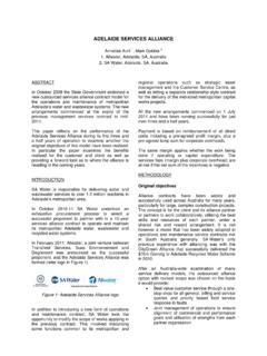
1 Matthew DavidsonManager, land ServicesNorth West Local land Services What is the resilience planning process How it was applied to surface water assets in the Namoi Catchment 2 examples of final on-ground delivery Map of the NamoiResilience Approach:What is it?:What does resilienceresilienceresilienceresilience mean? The capacity of a system to absorb disturbance and still retain its basic function and structure V1V2V1V2V1V2step change thresholdno thresholdV1V2threshold with alternate stable statesirreversible threshold changeTypes of socio-ecological systems logical segmentation of the Namoi Catchment into distinct groups of community, landuse, landform, and natural soil, water and biodiversity ; Floodplain Plans Water Audits Industry Point Source Pollution (2) Riverstyles Report Wetlands Inventory & Maps (Wetland Care 2006 & EcoLogical 2008 Riverine Assessment Index Salinity levels in stream Baseflow (DNR 2003) Community Stream Sampling & Waterwatch Tamworth Alternative Water sources Groundwater Scoping Study Interconnectivity between Surface & Groundwater in Maules Ck 3D Model for Interconnectivity in Maules Ck Coxs Creek Surface& Groundwater Modelling Deep drainage & shallow aquifer recharge Landholder bore monitoring & analysis (2) Gin s Leap groundwater study Surface Water sampling, analysis & reporting-ENVault Groundwater Dependent Ecosystems Identification & Verification- SEBAL technology Depth to Groundwater Riparian foot print Commence to fill requirements for Namoi River Upland wetland studyCritical assets (trends & shocks).)
2 Water availability water recharge declining or water quality variable and water quantity Poor and water availability to environment Stable, possibly water availability to people flows water in-stream flows flows connectivity - Geomorphology species buffers Poor but stable generally3. What are the critical assets and current3. What are the critical assets and current3. What are the critical assets and current3. What are the critical assets and Surface water flow is at 66% natural flow (pre development). Geomorphic condition is good Recruitment of riparian vegetation is higher than loss Wetlands not drained, dammed or physically modified Aquatic habitats- habitat area for individual threatened species RiverineRiverineRiverineRiverine ecosystems ecosystems ecosystems ecosystems By 2020 there is an improvement in the condition of those riverine ecosystems that have not crossed defined geomorphic thresholds as at the 2010 baseline.
3 Groundwater Groundwater Groundwater Groundwater systems systems systems systems By 2020 there is an improvement in the condition of groundwater systems to support groundwater dependant ecosystems and designated beneficial uses. WetlandsWetlandsWetlandsWetlands By 2020 there is an improvement in the condition of regionally important wetlands and the extent of those wetlands is maintained. By 2020 there is an improvement in the By 2020 there is an improvement in the By 2020 there is an improvement in the By 2020 there is an improvement in the condition of those riverine ecosystems that condition of those riverine ecosystems that condition of those riverine ecosystems that condition of those riverine ecosystems that have not crossed defined geomorphic have not crossed defined geomorphic have not crossed defined geomorphic have not crossed defined geomorphic thresholds (2010)thresholds (2010)thresholds (2010)thresholds (2010)
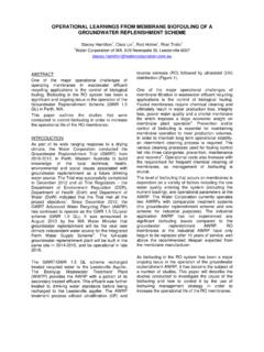
4 River Styles Report- Indicative Geomorphic Condition & Geomorphic Priorities for River conservation & Rehabilitation in the Namoi Catchment 2004 Summary of river character & behaviour based on the relationship between channel & valley morphologies and boarder landscape controls 10,000 km of named stream length, 23 different River styles identified Prioritised river reaches in good geomorphic condition at risk from landuse practices/other threats Targeted areas for investment Protecting the reaches so that they don t cross into another state (medium/low geomorphic condition)Idea for natural resource management program: CMA education program Field day Fact sheet MediaNamoi CMA staff work with individual/group/organisation to develop project planProject proposal assessed by Namoi CMA in termsof environmental benefit to be deliveredNamoi CMA negotiates with project proponentto establish co-contribution to the resource management partnership established 13km North of Narrabri13km North of Narrabri13km North of Narrabri13km North of Narrabri 12 landholders working together, RLPB & RTA12 landholders working together, RLPB & RTA12 landholders working together, RLPB & RTA12 landholders working together, RLPB & RTA 15km of a section of Spring Creek15km of a section of Spring Creek15km of a section of Spring Creek15km of a section of Spring Creek Works:Works:Works:Works.
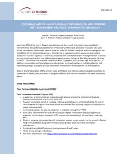
5 Protection from overgrazingProtection from overgrazingProtection from overgrazingProtection from overgrazing Erosion control worksErosion control worksErosion control worksErosion control works Plantings (6,500 trees & shrubs)Plantings (6,500 trees & shrubs)Plantings (6,500 trees & shrubs)Plantings (6,500 trees & shrubs) Perennial pasture establishmentPerennial pasture establishmentPerennial pasture establishmentPerennial pasture establishment Field daysField daysField daysField days Project total Project total Project total Project total ---- $300,000 ($216,000 from Namoi CMA)$300,000 ($216,000 from Namoi CMA)$300,000 ($216,000 from Namoi CMA)$300,000 ($216,000 from Namoi CMA) Target -By 1010 contribute to the information and actions supporting recovery of viable threatened species, populations and communities Action-apply Resilience Thinking concepts to individual species by exploring their thresholds regarding population sizes & habitat area TS which also operate as a flagship for key ecosystems Undertook study to find extent and priority areas Developed a program targeted at these prioritised areas using management actions suggested in the research reportBooroolongFrog- Investment ProgramThis project was a result of the Conservation status report commissioned last year.
6 The report s take home messages: A 75% decrease in utilised habitat since 1970 Feral animal predation Chytrid Fungus (10% of the population tested positive) Known colony locations Improved management ProgramOutline The Namoi CMA has to achieve at least 1 partnership and 6km of in-stream habitat protection preserved under a management agreement. The Budget is $100,000 for onground worksBuilding the program and raising capacity Prioritised Investment locations (field recon) A Purpose Built species and habitat condition assessment tool. Benchmark Management conditions focusing weed/feral animal management, handling restrictions, fossicking, timing and usage control of chemicals and stock access Technical training for landholders The Contracted 4 individual partners. of in-stream habitat with known populations of the Booroolong Frog restored and conserved. Threatening processes reduced include: A decrease in illegal fossicking activity Improved weed management Reduction of stock and vehicle impact and access Limitations on surface water extraction No fertilizer application in the project area No gravel extraction Frog Handling protocols No exotic fish releases in the project An expert spotlighting night for all partners to improve understanding and capacity to implement the agreement.
7 Monitoring Community Waterwatch group formed Monthly Scientific water quality monitoring along the reach by State Water for 12 months then quarterly there after. Annual landholder monitoring Resilience planning process is dependant on the quantity and quality of supporting science. Trends towards being conservative if science is vague. Move NRM planning away from general good things to do to acting on critical assets to keep them away from adverse thresholds More effective, particularly with limited resources. The change in thinking can be hard to sell initially. Provides strong rationale for 1 investment option over another. Transparent where hard decisions need to be made.