
Cape Cod Bay
BookletChart Cape Cod Bay . NOAA Chart 13246 . A reduced -scale NOAA nautical chart for small boaters When possible, use the full -size NOAA chart for navigation.
Download Cape Cod Bay

Information
Domain:
Source:
Link to this page:
Documents from same domain
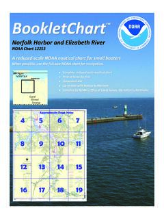
Norfolk Harbor and Elizabeth River
www.charts.noaa.govBookletChart Norfolk Harbor and Elizabeth River . NOAA Chart 12253 . A reduced -scale NOAA nautical chart for small boaters When possible, use the full -size NOAA chart for navigation.
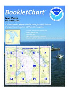
Lake Huron - Quick Links
www.charts.noaa.gov2 9th CG District Published by the . National Oceanic and Atmospheric Administration . National Ocean Service . Office of Coast Survey . www.NauticalCharts.NOAA.gov
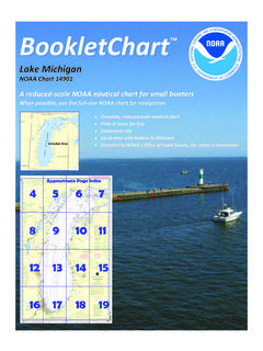
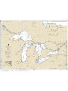
Lake Michigan - National Oceanic and Atmospheric ...
www.charts.noaa.govBookletChart Lake Michigan . NOAA Chart 14901 . A reduced -scale NOAA nautical chart for small boaters When possible, use the full -size NOAA chart for navigation.

Approaches to New York Nantucket Shoals to Five …
www.charts.noaa.govBookletChart Approaches to New York Nantucket Shoals to Five Fathom Bank . NOAA Chart 12300 . A reduced -scale NOAA nautical chart for small boaters
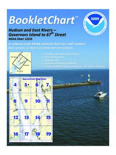
A reduced -scale NOAA nautical chart for small …
www.charts.noaa.govBookletChart Hudson and East Rivers Governors Island to 67. th Street . NOAA Chart 12335 . A reduced -scale NOAA nautical chart for small boaters When possible, use the full -size NOAA chart for navigation.
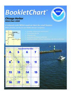
Chicago Harbor - Quick Links
www.charts.noaa.govBookletChart Chicago Harbor . NOAA Chart 14928 . A reduced -scale NOAA nautical chart for small boaters When possible, use the full -size NOAA chart for navigation.
NOAA Chart - 14500 Public
www.charts.noaa.govTitle: NOAA Chart - 14500_Public Author: NOAA's Office of Coast Survey Keywords: NOAA, Nautical, Chart, Charts Created Date: 8/25/2018 8:17:27 PM
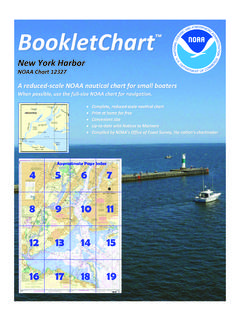
New York Harbor - Quick Links
www.charts.noaa.govSandy Hook , the southern entrance point to New York Harbor, is low and sandy. A Coast Guard station, a radar tower, and a radio tower are near the northern extremity of
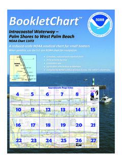
Intracoastal Waterway Palm Shores to West Palm Beach
www.charts.noaa.govBookletChart Intracoastal Waterway Palm Shores to West Palm Beach . NOAA Chart 11472 . A reduced -scale NOAA nautical chart for small boaters
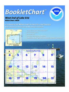
West End of Lake Erie
www.charts.noaa.govWest End of Lake Erie . NOAA Chart 14830 . A reduced -scale NOAA nautical chart for small boaters When possible, use the full -size NOAA chart for navigation. Included Area. 2 9th CG District Published by the . National Oceanic and Atmospheric Administration . National …
Related documents
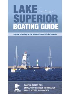
Lake Superior Boating Guide - Minnesota …
files.dnr.state.mn.usLake Superior. Boating Guide . A guide to boating on the Minnesota side of Lake Superior . This booklet summarizes both state and federal boating regulations in …
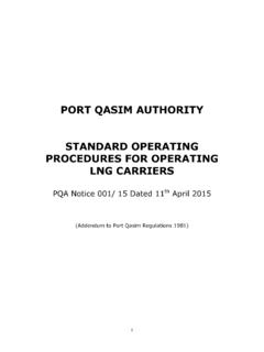
PORT QASIM AUTHORITY STANDARD OPERATING …
pqa.gov.pk1 PORT QASIM AUTHORITY STANDARD OPERATING PROCEDURES FOR OPERATING LNG CARRIERS PQA Notice 001/ 15 Dated 11th April 2015 (Addendum to Port Qasim Regulations 1981)

MARES DIVING Price List - Aquadivers
www.aquadivers.co.zaPRODUCT PRODUCT NAME COLOR VERSION / SIZES Recommended Retail (Including Vat) Price when purchased as part of a Cooplete Set Special Order MARES DIVING Price List Valid from March 2018

Bembridge Harbour Navigation Guide
www.bembridgeharbour.co.ukLast buoy before the visitor’s pontoon is 12a. On your port is the trot mooring area and on your starboard the visitor berths are coming into view

Group / Private Lessons PETER’S HUMOROUS …
www.bluewatersailing.comGroup / Private Lessons PETER’S HUMOROUS SAILING & BOATING ... ... Sailing

Menu - The Buoy Bar
www.buoybarli.comAppetizers Raw Clams: Half-dozen.....8 Dozen.....16 Steamers in a Basil Broth .....18
Andrew Mather1 and Andre Theron2 - CFOO
www.cfoo.co.za1 DRAFT RECENT EXTREME EVENTS ALONG THE COAST OF SOUTH AFRICA Andrew Mather1 and Andre Theron2 1mathera@durban.gov.za Contact person 2CSIR ABSTRACT INTRODUCTION The coast of South Africa is continually exposed to hazards from the sea, which
Related search queries
Lake Superior Boating Guide, Lake Superior. Boating Guide, QASIM AUTHORITY STANDARD OPERATING, QASIM AUTHORITY STANDARD OPERATING PROCEDURES FOR, MARES DIVING Price List, Bembridge Harbour Navigation Guide, Buoy, Private Lessons PETER’S HUMOROUS, Private Lessons PETER’S HUMOROUS SAILING & BOATING, Menu, Andrew Mather1 and Andre Theron2