
Hydrograph Development - USDA
Floodplain Delineation . ... uniformly shaped drainage areas with a unit hydrograph prepared for each. A combined unit ... For larger drainage areas divide the watershed into two or more hydrologically similar areas. The peak rate equation assumes rainfall has a short duration and uniform distribution. Remember, storm duration is the actual ...
Download Hydrograph Development - USDA

Information
Domain:
Source:
Link to this page:
Documents from same domain
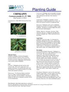
Planting Guide - USDA
www.nrcs.usda.govPlanting Guide Plant Materials <http://plant-materials.nrcs.usda.gov/> ... The Quicksand, Kentucky Plant Materials Center has relocated to Alderson, ...
[Federal Register: August 31, 2007 (Volume 72, …
www.nrcs.usda.gov[Federal Register: August 31, 2007 (Volume 72, Number 169)] ... From the Federal Register Online via GPO Access ... DEPARTMENT OF AGRICULTURE .
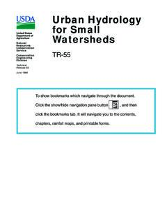
Urban Hydrology for Small Watersheds - Home | …
www.nrcs.usda.govNatural Resources Conservation Service Conservation Engineering Division Technical Release 55 June 1986 Urban Hydrology for Small Watersheds TR-55
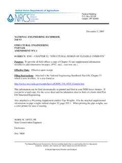
NATIONAL ENGINEERING HANDBOOK 210-VI …
www.nrcs.usda.govNATIONAL ENGINEERING HANDBOOK 210-VI STRUCTURAL ENGINEERING PART 636 AMENDMENT WY-1 SUBJECT: ENG – CHAPTER 52, “STRUCTURAL DESIGN OF FLEXIBLE CONDUITS” Purpose: To provide all field offices a copy of Chapter 52 and supplemental information

Community Garden Guide - USDA
www.nrcs.usda.gov(You will need a planting guide to determine recommended spacing, depth etc. Contact your extension office if you need a guide.) If you’ve made adjustments to the per person needs in column 2, you can estimate the amount to plant using column 4.
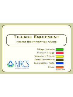
Tillage Equipment - USDA
www.nrcs.usda.govAbout this guide... The purpose of the guide is to help you identify commonly used farm equipment. Its color photos and line drawings will facilitate communication between NRCS and our clients by
Dealing with Difficult People - USDA
www.nrcs.usda.govDifficult People Defined and Explained The Hostile Aggressive The bully that always needs to be right. They tend to be abusive, abrupt, accusatory, intimidating,
Soil Data Viewer 6.2 User Guide - USDA
www.nrcs.usda.govSOIL DATA VIEWER OUTPUT ... relieving the user from the burden of querying the soil database, processing the data and then linking the ... After downloading this ...
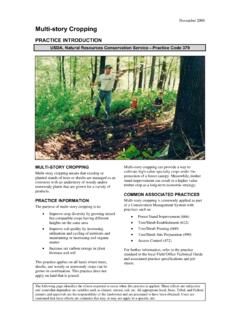
November 2008 Multi-story Cropping - USDA
www.nrcs.usda.govNovember 2008 The diagram above identifies the effects expected to occur when this practice is applied according to NRCS practice standards and specifications.
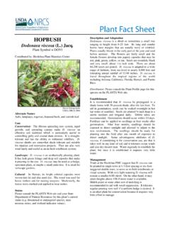
hop bush Plant Fact Sheet - USDA
www.nrcs.usda.govbefore summer. The flowers are fairly small and the female flowers develop into papery capsules that may be red, pink, green, yellow, or tan. Seeds are roundish, black and very small; about 1/16 inch wide. There are about 84,200 seeds per pound. D. viscosa is adapted to a wide range of habitats, from sea-level to nearly 8,000 feet and
Related documents
Arc Hydro Tools 2.0 - Tutorial
downloads.esri.comIn this tutorial, the user will perform drainage analysis on a terrain model. The Arc Hydro tools are used to derive several data sets that collectively describe the drainage patterns of a catchment. Raster analysis is performed to generate data on flow direction, flow accumulation, stream definition, stream segmentation, and watershed delineation.

Morphometric Analysis of a Drainage Basin Using ... - IJMCR
ijmcr.comphysiographic characteristics of drainage basins such as size, shape, slope of drainage area, drainage density, size and length of the tributaries etc. (Rastogi et al., 1976). Remote sensing data can be used in conjunction with conventional data for delineation of ridgelines,
1. Watershed Management Concept and Principles - ICRISAT
oar.icrisat.orgDelineation of Watershed Hydrologically, watershed is an area from which the runo/ @ows to a common point on the drainage system. Every stream, tributary, or river has an associated watershed, and small watersheds aggregate together to become larger watersheds. Water travels from headwater to the downward location and meets with similar
Chapter 6 Runoff - UDFCD
udfcd.orgusing data collected for a variety of watershed conditions. The vast majority of major drainage systems within UDFCD are designed based upon the hydrology calculated using CUHP and a customized version of the EPA’s Stormwater Management Model (SWMM) , runoff block, named the Urban Drainage Stormwater Model (UDSWM).

Construction Site Assessment & Planning - Indiana
www.in.govinclude the delineation and identification of existing vegetation such as grass, shrubs, trees, groupings or clusters of trees, unique vegetation, and so on. ... a subsurface drainage system often affects the drainage on adjacent properties ... storm water runoff and pollutants associated with upstream watershed land uses (e.g., single-family ...

How to Read a Topographic Map and Delineate a Watershed …
www.nrcs.usda.govthe watershed and down the opposite side of the watercourse. Eventually it will connect with the circle from which you started. At this point you have delineated the watershed of the wetland being evaluated. The delineation appears as a solid line around the watercourse. Generally, surface water runoff from rain falling anywhere in this area
Revised April 2019 - The City of San Antonio
www.sanantonio.gov4.4.1 Major Plat ..... 4.6 4.4.2 Minor Plat ..... 4.7

Watershed Delineation with ArcGIS 10.2 - Trent University
www.trentu.caWatershed Delineation with ArcGIS 10.2.x Watersheds, also known as basins or catchments, are physically delineated by the area upstream from a specified outlet point. Watersheds can be delineated manually using paper maps, or digitally in a GIS environment.