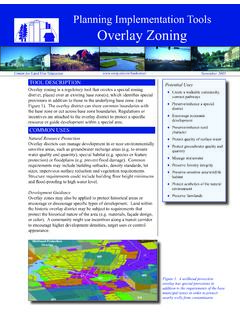
Planning Implementation Tools Overlay Zoning
County Land Information Offi ce and for the Town of Empire by East Central Wisconsin Regional Planning Commission. This document is part of CLUE’s collaboration with the USDA, NRCS, GEM, and UWEX, entitled, “Partnership for Community Planning – Models for Land Use Education, Planning, and Management.” Figure 2. Town of Empire overlay
Download Planning Implementation Tools Overlay Zoning

Information
Domain:
Source:
Link to this page:
Documents from same domain

Precordial Catch Syndrome
www3.uwsp.eduPrecordial Catch Syndrome The precordial catch syndrome is a very common, benign cause of chest pain in older children and young adults. In spite of its very consistent characteristics, it often leads to unnecessary and expensive testing, specialist referrals, and anxiety. Characteristics • Sudden onset – no warning • Usually occurs at rest

Outdoor Education – Research Summary
www3.uwsp.eduoutdoor education. Research has document increased standardized test scores, enhanced attitude about school, improved in -school behavior, improved attendance and overall enhanced student achievement when students learn in and about nature. In addition, outdoor education effectively employs a greater range of children’s intelligences.

Top Ten native shrubs for wildlife
www3.uwsp.edunannyberry Viburnum lentago height 15 – 20 ft. location Plant in partial or full sun in an opening or along the edge of woods. wildlife feature Fall berries eaten by cedar waxwings, gray catbirds, thrushes, woodpeckers, eastern bluebirds and other birds. Berries often stay on the shrub beyond fall, providing an
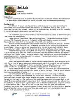
Soil Lab - uwsp.edu
www3.uwsp.eduSoil structure refers to the tendency of soil particles to cluster together and function as soil units called aggregates. Aggregates or crumbs contain mostly clay, silt, and sand particles held together by a gel-type substance formed by organic matter. Aggregates absorb and hold water better than individual particles.
Related documents
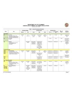
Generalized Zoning Code Summary 3-23-20 - Los Angeles
planning.lacity.orgDEPARTMENT OF CITY PLANNING GENERALIZED SUMMARY OF ZONING REGULATIONS Updated March 2020 CP-7150 (3/23/20) Page 2 Table 1 – General Development Standards Zone Use Maximum Height Required Yards Minimum Area Min. Lot Width Parking Stories Feet Front Side Rear Per Lot Per Dwelling Required Unit

LAND USE CLASSIFICATION: CONCEPTS & METHODS …
www.fao.org5. Land Use Classification • To measure land and its impact on ecosystem land use classification is required • The traditional nine-fold land use classification as well as the UN ECE classification are available • These classifications do not fully meet needs of integrated land use planning and creation of environmental indicators
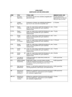
KERN COUNTY GENERALIZED LAND USE ZONING GUIDE …
www.bid4assets.comSpecial Planning Encourage and facilitate the creative and innovative use of land which may otherwise be limited or prohibited by the standard provisions of other parts of the Zoning Ordinance 5 acres PL Platted Lands Residential uses and other compatible activities; future land divisions are prohibited Existing on April 15, 1982 LS
Uniform Land Use Review Procedure (ULURP) - New York City
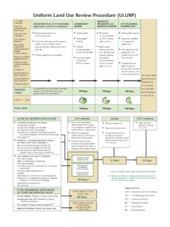
www1.nyc.govDCP = Department of City Planning CPC = City Planning Commission CB = Community Board BP = Borough President CC = City Council BB = Borough Board Uniform Land Use Review Procedure (ULURP) AFTER CPC APPROVES APPLICATION CITY COUNCIL MAYOR CITY COUNCIL 5 Days 10 Days IF CPC DISAPPROVES APPLICATION, ALL ITEMS ARE …
ZONING SUMMARY - Department of Planning
planning.baltimorecity.govThe Planning Commission is required to review and make recommendations to the City Council within 100 days of introduction on all zoning changes and text amendments. The City's Zoning Ordinance sets forth four (4) basic land use categories and lists those uses allowed in each zoning district.If a use is not listed it is not allowed.

KENYA GAZETTE SUPPLEMENT - Kenya Law Reports
kenyalaw.org"land use planning" means the process of designating, regulating, evaluating, zoning and organizing the present and future use and development of land in all its geographical areas and its resources to secure the physical, economic and social efficiency, health and well-being of