
Hurricane Maria
tide gauge at Yabucoa Harbor measured a water level of 5.3 ft MHHW, but the sensor went offline for a period and may not have recorded the peak water level. Maximum inundation levels of 3 to 5 ft above ground level occurred along the coast of northeastern Puerto Rico, especially in the municipalities of Ceiba and Fajardo, and along much ...
Download Hurricane Maria

Information
Domain:
Source:
Link to this page:
Documents from same domain
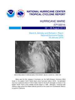
Hurricane Marie
www.nhc.noaa.govMarie was the first category 5 hurricane in the eastern North Pacific basin since Hurricane Celia in 2010. Aside from a trochoidal wobble on 24 August, Marie moved on a fairly consistent west-
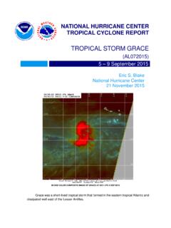
Tropical Storm Grace - National Hurricane Center
www.nhc.noaa.govGrace was a short -lived tropical storm that formed in the eastern tropical Atlantic and dissipated well east of the Lesser Antilles.
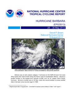
HURRICANE BARBARA
www.nhc.noaa.govhurricane barbara (ep022013) 28 – 30 may 2013 daniel p. brown national hurricane center 19 august 2013 1 goes 14 satellite image of hurricane barbara at 1815 utc 29 may, near the time of landfall in southern mexico. image courtesy of the noaa environmental visualization laboratory.
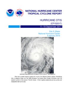
Hurricane Otis - nhc.noaa.gov
www.nhc.noaa.govOtis was a weak tropical cyclone for much of its lifetime before rapidly intensifying into a category three (on the Saffir-Simpson Hurricane Wind Scale) hurricane over the
Tropical Cyclone Report Hurricane Paula (AL182010 ...
www.nhc.noaa.govHurricane Paula (AL182010) 11 – 15 October 2010 Robbie Berg National Hurricane Center 20 December 2010 Paula was a small category 2 hurricane (on the Saffir-Simpson Hurricane Wind Scale) that formed over the western Caribbean Sea and moved northward through the Yucatan Channel.
Hurricane Genevieve - nhc.noaa.gov
www.nhc.noaa.govGenevieve was a -lived shorttropical storm that crossed °W into the central 140 Pacific as a depression. It later became a major hurricane in the central Pacific and a s uper
Tropical Cyclone Report Tropical Storm Rosa (EP172012 ...
www.nhc.noaa.govRosa was a slow-moving late-season tropical cyclone that formed well southwest of the Baja California peninsula. a. Synoptic History The passage of the Madden-Julian Oscillation (MJO) over the eastern Pacific during the last week in October likely resulted in a …
NATIONAL HURRICANE C ENTER FORECAST VERIFICATIO N …
www.nhc.noaa.govvery skillful, but were slightly outperformed by TVCE. Regarding intensity, the official forecasts have been performing better than all of the guidance during the 2014- 16 period from 12 to 48 h, but
Tropical Cyclone Report - National Hurricane Center
www.nhc.noaa.govHurricane Dean (AL042007) 13-23 August 2007 . James L. Franklin . National Hurricane Center ... passing very close to Jamaica and later making landfall on the east coast of the ... Atlantic hurricane since Andrew of 1992 to reach land at category 5 strength, was responsible for 32 deaths. a. Synoptic History . Dean originated from a well ...
Tropical Cyclone Report - National Hurricane Center
www.nhc.noaa.govIn Jamaica, the lowest observed pressure was 988.7 mb at an amateur radio station in Stoney Hill. Gustav likely caused a significant storm surge in western Cuba.
Related documents

Weather - usscouts.org
www.usscouts.orga. Make one of the following instruments: wind vane, anemometer, rain gauge, or hygrometer. Keep a daily weather log for 1 week using information from this instrument as well as from other sources such as local radio and television stations, NOAA Weather Radio All Hazards, and Internet sources (with your parent's permission).
GREENHOUSE EFFECT & GLOBAL WARMING - The internet as …
www.columbia.eduprecipitation from a rain gauge, sea level pressure from a barometer, wind speed and direction from an anemometer). Instead of instrumental measurements of weather and climate, paleoclimatologists use natural environmental (or "proxy") records to infer past climate conditions.

Personal Weather Station - Siting
www.weather.govAug 13, 2016 · Rain Gauge • Ideally mounted at a height of 4 to 6 feet above the ground. • Ideally located at a horizontal distance of 4 times the height of the nearest obstruction. • Ensure the gauge is mounted level to the ground, away from any horizontal surface that can introduce rain-splashing or surrounding snow buildup. 1/8

Irrigation Troubleshooting Guide - Rain Bird
www.rainbird.comThe T- Bird is Rain Bird’s first gear driven sprinkler. It is designed to operate in the 25-60 PSI range and cover a radius of 16-30’. It has a pressure compensating flow bushing, resulting in matched precipitation and pressure activated wiper seal. Arc Adjustment To increase the arc - Keep in mind that the part circle T- Bird comes preset ...

Gutter System Installation Standards Product Specification
d3qhul1lf5l450.cloudfront.netA Rain Gutter System starts with a trough, called a gutter, which collects ... The gauge of the Aluminum for this coil is .019, +/- .002. • The Aluminum’s inside and outside coating is a thermo polyester paint which is roll coated and baked per manufactures specifications.