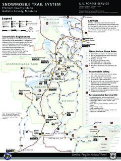
Snowmobile Trail Map2 - USDA
Elk Creek Macks Inn Island Park Village Big Springs Mesa Falls Warm River Cabin Bishop Mountain Cabin Last Chance TH TH 20 TH TH TH 191 TH TH Warming Hut TH Bear Gulch TH St. Anthony TH TH Osborne Bridge TH Phillips Lodge Lower Mesa Falls Overlook TH TH 32 47 20 20 87 287 191 287 TH Targhee ... • 50 feet of 1/4 inch rope This map is for ...
Download Snowmobile Trail Map2 - USDA

Information
Domain:
Source:
Link to this page:
Documents from same domain
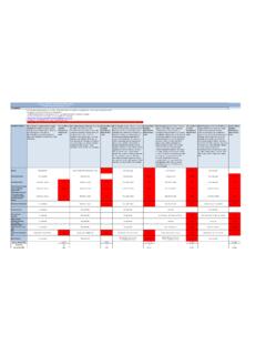
Average Annual Cost for Road Maintenance by Operational ...
www.fs.usda.govpatching, crack sealing, chip sealing and removal of unsuitable material. Shoulders are shaped to provide a smooth transition to traveled way and drain efficiently. Ditches and culverts function efficiently. Clean/Repair structures (cattleguard, gate) and signs. Paint pavement markings. Road
CAD Standards User’s Guide - USDA
www.fs.usda.govComputer Aided Design (CAD) construction and design drawings for the Forest Service. The purpose of this document is to establish standards, which will result in the preparation of consistent and compatible AutoCAD files. It is intended to guide users in the overall CAD system, operations, and to establish standards and procedures that will
Engineering Calculations DEMOLITION DEBRIS WASTE …
www.fs.usda.govstructures. To estimate the volume of the spread footing foundation, use the surface area method. For volume estimating purposes, assume that the slab is 12 in thick. There are 15 visible courses of 8-in tall concrete masonry units (CMU) serving as the Upper Level foundation; for volume estimating purposes assume the CMU foundation
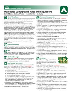
Developed Campground Rules and Regulations
www.fs.usda.govDay use visitors may be in developed recreation areas from 6 a.m. to 10 p.m. Only campers may remain in this area after 10 p.m. Check bulletin boards and observe posted hours. 36 CFR 261.58 (u). Fees Some campgrounds are designated U.S. Fee Area. You must pay a fee to use these facilities. Refer to the fee section of bulletin
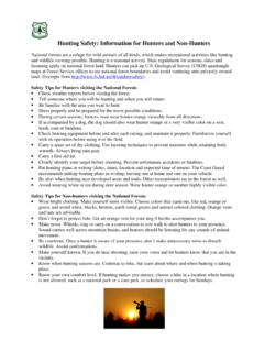
Hunting Safety: Information for Hunters and Non-Hunters
www.fs.usda.govSafety Tips for Non-hunters visiting the National Forests • Wear bright clothing. Make yourself more visible. Choose colors that stand out, like red, orange or green, and avoid white, blacks, browns, earth-toned greens and animal-colored clothing. Orange vests and hats are advisable. • Don’t forget to protect fido.
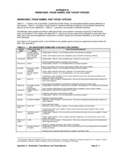
HERBICIDES, TRADE NAMES, AND TARGET SPECIES
www.fs.usda.govFor any pesticide classified as a potential carcinogen, the risk would depend on the extent to which a person might be exposed (how much time and to what quantity of the pesticide). The factors considered include short-term studies, long-term cancer studies, mutagenicity studies, and structure activity concerns.
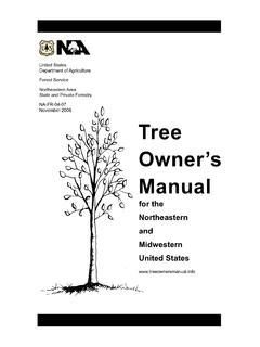
Tree Owner's Manual - USDA
www.fs.usda.govU.S. Department of Agriculture 11 Campus Blvd., Suite 200 Newtown Square, PA 19073 NA-FR-04-07 November 2008 www.na.fs.fed.us . Tree Owner's Manual . for the Northeastern and Midwestern United States . Tree Owner's Manual. Authors: Jill R. Johnson, Forest Service Gary R. Johnson, University of Minnesota Maureen H. McDonough, Michigan State ...
The Malheur National Forest - Home | US Forest Service
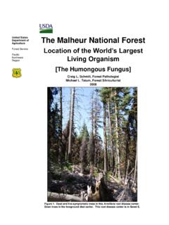
www.fs.usda.govForest Service Pacific Northwest Region The Malheur National Forest Location of the World’s Largest Living Organism [The Humongous Fungus] Craig L. Schmitt, Forest Pathologist Michael L. Tatum, Forest Silviculturist 2008 Figure 1. Dead and live-symptomatic trees in this Armillaria root disease center. Down trees in the foreground died earlier.
Snake Safety - US Forest Service
www.fs.usda.govStay calm Call Dispatch via radio or 911 Wash the bite area gently with soap and water if available Remove watches, rings, etc., which may constrict swelling
SPRAYER CALIBRATIONS AND CALCULATIONS
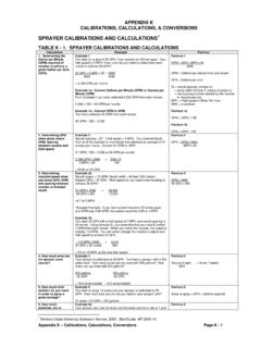
www.fs.usda.govV1 = 3 gallons The final mixture (Volume 2 or V2) is the amount of the concentrate (V1) plus the required amount to make up to V2. If V1 = 3 gallons and the required amount is 100 gallons, add 97 gallons of water to 3 gallons of concentrate. Formula 11 C1 x V1 = C2 x V2 C1= % of a.i. in concentrate V1 = quantity of concentrate needed
Related documents

WOLVES OF YELLOWSTONE
d43fweuh3sg51.cloudfront.netThis map charts the changes in the ecosystem of YNP in the absence of wolves. Students should also answer questions 2-4 during or after the video. 4. Go over the bubble maps with the students. The teacher answer key on pages 6-10 of this guide provides one possible bubble map and answers for the other viewing questions and activities. 5.

2022 Big Game Regulations and Tag Numbers
dfw.state.or.usSep 17, 2021 · Controlled Elk Season Proposals One day calendar shift for 2022 16 new controlled bow hunts (August 2021) Delete 2 antlerless hunts (216C, 255B) • GSAED meeting needs Changes in Starkey Experimental Forest Two new Zumwalt Prairie hunts Late changes (Addendum 1): Delete 252D Peach Creek (11 Tags) Remove LOP limitation on Starkey Bull …
BLACK HILLS TRAILS SYSTEM TRAIL DIRECTORY
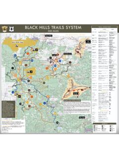
gfp.sd.govAdventures 605.578.1878 | madmountainadventure.com Open daily 8a.m.-4:30p.m. Mallo Camp & Motel Trail #11; 478 Mallo Rd 4.5 mi. E of 4 Corners on City Rd 810. 307.746.4094 8 camper sites, shower house, dogs welcome in camping area Open daily. Group rates available Mt. Meadow Store Trail #2; 14 mi. NW of Hill City off Deerfield Rd

Iowa Transportation Map
iowadot.govLower Gar Lake Lake Minnewashta West Slough Bur Oak Lake Cunningham Slough High Lake Eldred Sherwood Lake Willow Lake Lake Hendricks Iowa Lake Mariposa Lake Kent Park Lake Central ... Elk Flood Creek Roberts O tter Cr. Beaver O tter Creek Eagle Creek W hite Fox Creek Cedar Cr. Graybill Jordan Cr. Indian Creek Beaver Creek Honey M in erva C r. E ...
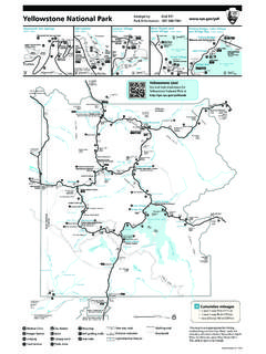
Yellowstone National Park Emergency Dial 911 Park ...
www.nps.govLower Terraces Upper Old Faithful Geyser Geyser Hill Castle Geyser Grand Geyser West Thumb Geyser Basin Y e l o w s ... Indian Creek Pebble Creek Slough Creek IDAHO MONTANA WYOMING A G to Livingston 52 mi/84 km to Bozeman ... (Detail map above) (Detail map above) (Detail map above) (Detail map above) (Detail map on reverse side) L e w i s R i v r
Geologic Map of East Tennessee - TN.gov
www.tn.govPlateau-Sequatchie Valley and related coves from Marion to Cumberland Counties, and Elk Valley in northern Campbell County-to permit the addition of those areas to the present map. The western boundary of the geologic map therefore follows the eastern escarpment of the Cumberland Plateau (called Cumberland
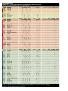
Trout Stocking (2022) Click here for map of all stocking ...
www.tn.govClick here for map of all stocking locations or click on individual waterbody name for specific location information. ... COUNTY WATERBODY 6 13 20 27 3 10 17 241 8 15 22 29 5 12 19 26 31 7 14 21 28 4 11 18 25 2 9 16 23 Houston Hurricane Creek ... (lower) VanBuren Cane Creek ...
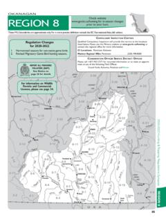
OKANAGAN REGION 8 - British Columbia
www2.gov.bc.caSee Map J5. H Crater Mountain Area (MU 8-3). See Map J21. H Placer Mountain to Border Lake area (MU 8-3, 8-4). See Map J21. H Garnet Valley (MU 8-8). An authorized trapper is exempt from this restriction for the purpose of trapping. See Map J9. H Osoyoos Oxbows except established roadways (MU 8-1). See Map J1. H Underdown Creek (MU 8-1). See ...