Example: quiz answers
Introduction Watershed Management - isprs.org
2 Water Cycle Watershed Management 9This is the PROCESS of GUIDING & ORGANISING, Land and Other Resource Usage in a Watershed Ensuring the Sustenance of the Environment (Mainly the Soil and Water Resources)
Tags:
Information
Domain:
Source:
Link to this page:
Documents from same domain
SOIL EROSION MODELLING BY USING GIS & …
www.isprs.orgSOIL EROSION MODELLING BY USING GIS & REMOTE SENSING : A CASE STUDY, GANOS MOUNTAIN Berk Ustun a, ∗* a ITU, Civil Engineering Faculty, 80626 Maslak Istanbul, Turkey-(e0727619@student.tuwien.ac.at) KEY WORDS: Environment, GIS, Hazards, Land Cover, Prediction, Vegetation, Monitoring ABSTRACT: This paper …
GUIDELINES FOR AUTHORS PREPARING …
www.isprs.orgguidelines for authors preparing manuscripts for publication in the isprs archives and the isprs annals . m. o. altan 1, g. toz 1, i. dowman 2, s. kulur 1, d. z. seker 1, p. löwe 3 c. heipke 4,

THERMAL REMOTE SENSING: CONCEPTS, ISSUES …
www.isprs.orgInternational Archives of Photogrammetry and Remote Sensing. Vol. XXXIII, Part B1. Amsterdam 2000. 239 THERMAL REMOTE SENSING: CONCEPTS, ISSUES AND APPLICATIONS

What is Remote Sensing?
www.isprs.org2 What is Remote Sensing ? “Remote Sensing is defined as the science and technology by which characteristics of objects of interest can …

Introduction to GIS (Basics, Data, Analysis) Case …
www.isprs.org1 Introduction to GIS (Basics, Data, Analysis) & Case Studies 13th May 2004 Content • Introduction to GIS • Data concepts • Data input • Analysis • …

HIGH (SPATIAL) RESOLUTION vs. LOW …
www.isprs.orgMahavir, Dr International Archives of Photogrammetry and Remote Sensing. Vol. XXXIII, Supplement B7. Amsterdam 2000. 127 HIGH (SPATIAL) RESOLUTION vs. LOW RESOLUTION IMAGES :
COMPETENCY STANDARDS - A MEASURE OF THE …
www.isprs.orgCOMPETENCY STANDARDS - A MEASURE OF THE QUALITY OF A WORKFORCE John C Trinder School of Surveying and SIS, The University of New South Wales, UNSW SYDNEY NSW 2052, Australia
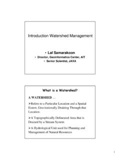
Introduction Watershed Management
www.isprs.org1 Introduction Watershed Management • Lal Samarakoon • Director, Geoinformatics Center, AIT • Senior Scientist, JAXA A WATERSHED … ¾Refers to a …
THE ACCURACY OF USING THEODOLITE IN CLOSE …
www.isprs.orgTHE ACCURACY OF USING THEODOLITE IN CLOSE-RANGE ENGINEERING MEASUREMENTS Hüseyin Gazi BAŞ University of Sakarya Engineering Faculty Department of Civil Engineering

LIDAR- DATA: AUTOMATIC OBJECT DETECTION …
www.isprs.orgLIDAR- DATA: AUTOMATIC OBJECT DETECTION TO SUPPORT URBAN FLOODING SIMULATION MD. Aktaruzzaman, Theo G. Schmitt Institute of Urban Water Management, University of Kaiserslautern, Paul Ehrlich strasse 14,
Related documents

Revised Universal Soil Loss Equation
www.5counties.orgUnderstanding Erosion. with the. Revised Universal Soil Loss Equation. Towards a Better Understanding of the . What, Why & How

Universal Soil Erosion Equation - ASU
www.asu.eduUniversal Soil Erosion Equation Beginning 10,000 years ago, during a period called the Neolithic, people started farming in Jordan. Large groups of people lived together in lowland and hillside landscapes that they had cleared of trees and
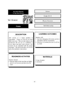
Grade 10-12 Soil Erosion
www.edu.pe.ca19 Agri-science Resources for High School Sciences Physics Soil Erosion Introduction Soil is the top layer of the earth’s surface that is capable of sustaining life. Therefore, soil is very important to farmers, who depend on soil to provide abundant, healthy crops eac h

Environmental problems and toxic waste dumping in Somalia
www.worldg18somalia.org9. Physical degradation that mainly refers to soil loss and erosion includes phenomena such as the deposition of undesirable sediments, deteriorating soil structure and increased
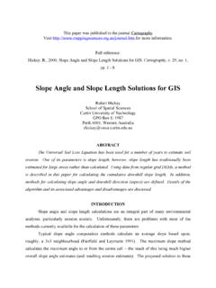
Methods for Slope Angle and Slope Length Calculations for ...
www.onlinegeographer.com3 In recent years, soil erosion models more advanced than the USLE have been developed, including ANSWERS (Beasley and Huggins, 1991), AGNPS (Young et al., 1987), WEPP (Laflen et al., 1991; Savabi, et al., 1995), and the USLE's replacement, RUSLE (Renard et al., 1997; Renard et al., 1991).It is important to note that all models include a slope component and
7: ERODIBLE SOILS - Franklin Township
www.franklintwpwarren.orgH U N T ERD O N C O U N T Y WARREN COUNTY Morris C a n a l g (Dr y) P o h a t c o n C r e ek P o h a t cong eCre k M i lG B r o M o n t a n o k a B r o o k M u s c o n e t c o n g r Ri v e Bethlehem Township