Example: bachelor of science
Chesapeake Bay - National Oceanic and Atmospheric ...
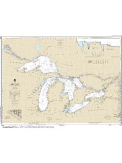
Nautical charts are a f undamental tool of marine navigation. They show water depths, obstructions, buoys, other aids to navigation, and much more. The information is shown in a way that promotes safe and efficient navigation. Chart carriage is mandatory on the commercial ships that carry America s commerce. They are also used on every Navy
Tags:
Information
Domain:
Source:
Link to this page:
Documents from same domain
A reduced -scale NOAA nautical chart for small …
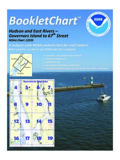
www.charts.noaa.govBookletChart Hudson and East Rivers Governors Island to 67. th Street . NOAA Chart 12335 . A reduced -scale NOAA nautical chart for small boaters When possible, use the full -size NOAA chart for navigation.
Norfolk Harbor and Elizabeth River
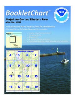
www.charts.noaa.govBookletChart Norfolk Harbor and Elizabeth River . NOAA Chart 12253 . A reduced -scale NOAA nautical chart for small boaters When possible, use the full -size NOAA chart for navigation.
Lake Michigan - National Oceanic and Atmospheric ...
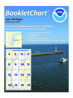
www.charts.noaa.govBookletChart Lake Michigan . NOAA Chart 14901 . A reduced -scale NOAA nautical chart for small boaters When possible, use the full -size NOAA chart for navigation.
Chicago Harbor - Quick Links
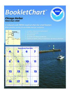
www.charts.noaa.govBookletChart Chicago Harbor . NOAA Chart 14928 . A reduced -scale NOAA nautical chart for small boaters When possible, use the full -size NOAA chart for navigation.

Cape Cod Bay
www.charts.noaa.govBookletChart Cape Cod Bay . NOAA Chart 13246 . A reduced -scale NOAA nautical chart for small boaters When possible, use the full -size NOAA chart for navigation.
NOAA Chart - 14500 Public
www.charts.noaa.govTitle: NOAA Chart - 14500_Public Author: NOAA's Office of Coast Survey Keywords: NOAA, Nautical, Chart, Charts Created Date: 8/25/2018 8:17:27 PM

Approaches to New York Nantucket Shoals to Five …
www.charts.noaa.govBookletChart Approaches to New York Nantucket Shoals to Five Fathom Bank . NOAA Chart 12300 . A reduced -scale NOAA nautical chart for small boaters
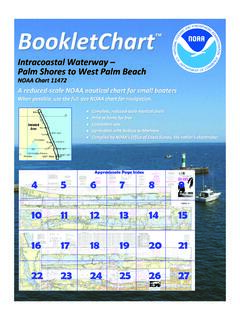
Intracoastal Waterway Palm Shores to West Palm Beach
www.charts.noaa.govBookletChart Intracoastal Waterway Palm Shores to West Palm Beach . NOAA Chart 11472 . A reduced -scale NOAA nautical chart for small boaters
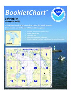
Lake Huron - Quick Links
www.charts.noaa.gov2 9th CG District Published by the . National Oceanic and Atmospheric Administration . National Ocean Service . Office of Coast Survey . www.NauticalCharts.NOAA.gov
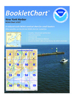
New York Harbor - Quick Links
www.charts.noaa.govSandy Hook , the southern entrance point to New York Harbor, is low and sandy. A Coast Guard station, a radar tower, and a radio tower are near the northern extremity of
Related documents

RESOLUTION MSC.232(82) (adopted on 5 December 2006 ...
wwwcdn.imo.orgIHO standards. The ENC contains all the chart information necessary for safe navigation and may contain supplementary information in addition to that contained in the paper chart (e.g. sailing directions) which may be considered necessary for safe navigation. 3.3 System Electronic Navigational Chart (SENC) means a database, in the manufacturer™s

ECDIS (Electronic Chart Display and Information System)
www.standard-club.comchart required by regulation V/19 & V/27 of the 1974 SOLAS Convention, by displaying selected information from a system electronic navigational chart (SENC) with positional information from navigation sensors to assist the mariner in route planning and route monitoring, and by displaying additional navigation-related information if required.’
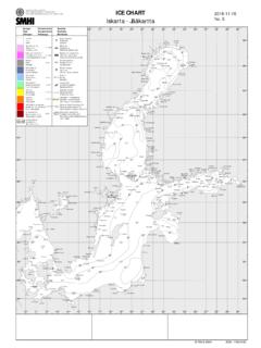
ICE CHART - FMI
cdn.fmi.fiICE CHART Iskarta - Jääkartta 2022-03-16 No. 121 Concentration Koncentration Peittävyys Ice type Istyp Jäätyyppi Symbols Symboler Merkinnät Partly based on EU Copernicus data Assistance Restrictions, FINLAND ... Navigation of vessels without ice reinforcements only with an …

7 VFR AERONAUTICAL CHART SYMBOLS - Texas A&M …
ticc.tamu.eduvfr aeronautical charts - aeronautical information 10 radio aids to navigation vhf omni-directional radio (vor) range vor vortac vor-dme non-directional

Iowa Criminal Statutes Summary Chart
www.iowacourts.govEnhancements portion of the chart is located after the Code Sections, as can be seen in the Navigation Pane. Because the applicability of enhancements is case dependent, instead of including a list of each enhancement, its requirements, and consequences in the Notes for every felony, these “general” enhancements are grouped together in ...

Amplifiers Comparison Chart
line6.com4-Way Navigation, Save Drive, EQ, Chan Vol, Master, Mic Trim EQ 3 Band + Presence 3 Band Tone Boost/Drives 6 Customized For Each Amp; Switchable 15 15 via app 1 Delay 6 14 14 via app 3 2 Modulation 6 23 23 via app 3 Pitch (Filters, Synth) 6 15 15 via app ---Reverb 6 15 15 via app 1 Tap Tempo/Tuner Button Effects Loop 1/4" Input & Output ...
SHAWN M. LATOURETTE - Government of New Jersey
www.nj.govPermitting & Project Navigation WILLIAM DIXON Director Division of Coastal Engineering JOHN MOYLE Director Dam Safety & Flood Engineering KRISTI TALLONE Director Program Operations NICHOLAS ANGARONE Bureau Chief Climate Resilience Planning DENNIS REINKNECT Bureau Chief Climate Resilience Engineering FRANCIS STEITZ Director Division …