Transcription of Christmas Tree Cutting ²
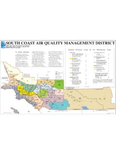
1 COLORADO STATEFORESTSTATEPARKROCKY MOUNTAIN NATIONAL PARKFort CollinsEstes ParkLyonsDrakeRusticRed FeatherLakesGrand LakeGlen HavenMeeker ParkPinewood SpringsArrowhead LodgeR A W A HW I L D E R N E S SC O M A N C H E P E A KW I L D E R N E S SC A C H E L A P O U D R EW I L D E R N E S SN E O T AW I L D E R N E S S46694627 1254680C 287 34 287 34 36 125 14 144680C461034610346274644H4663 ECOLORADO STATEFORESTSTATEPARK4674E4673C4667J4668C 4674E468646994643 36464746200200 14 7 1 inch equals 7 milesDate: 11/2/2021R o o s e v e l t N a t i o n a l F o r e s tC a n y o n L a k e s R a n g e r D i s t r i c tL a r i m e r C o u n t y, C OChristmas Tree CuttingA r e a s a n d A c c e s s R o u t e sDisclaimer:This map is for display purposes only and not for Forest Service reserves the right to correct, update, modify, or replace GIS products without notification.
2 For more information contact:Arapaho and Roosevelt National ForestsPawnee National Grassland,2150 Centre Avenue, Building E,Ft. Collins, CO 80526(970) 295-6700 canyon Lakes District BoundaryNational Forest - Cutting PermittedNon-Federal Land - Cutting ProhibitedNational Forest - Tree Cutting ProhibitedAccess Routes to National Forest Land*National Forest System *Reference the Motor Vehicle Use Map (MVUM) to identify roads seasonally closed to motor vehicles. These may be accessed by snowshoe, ski, and snowmobile depending on Forest lands are intermixed with private lands. Only cut on public lands. Maps on the Avenza App can help identify your exact at your own risk.
3 Chains/traction devices recommended. Some roads may not be plowed or may not be suitable for passenger vehicles during the winter in areas so traffic can safely pass; do not block all regulations listed on the Cutting tree permit. Cutting is prohibited in developed recreation sites.*Scan for the MVUM North Map*Scan for the MVUM South MapF o r e s t S e r v i c eU S D E PA R T M E N T O F A G R I C U LT U R E